panorama
www.bridgerule.co.uk


Links to all pages


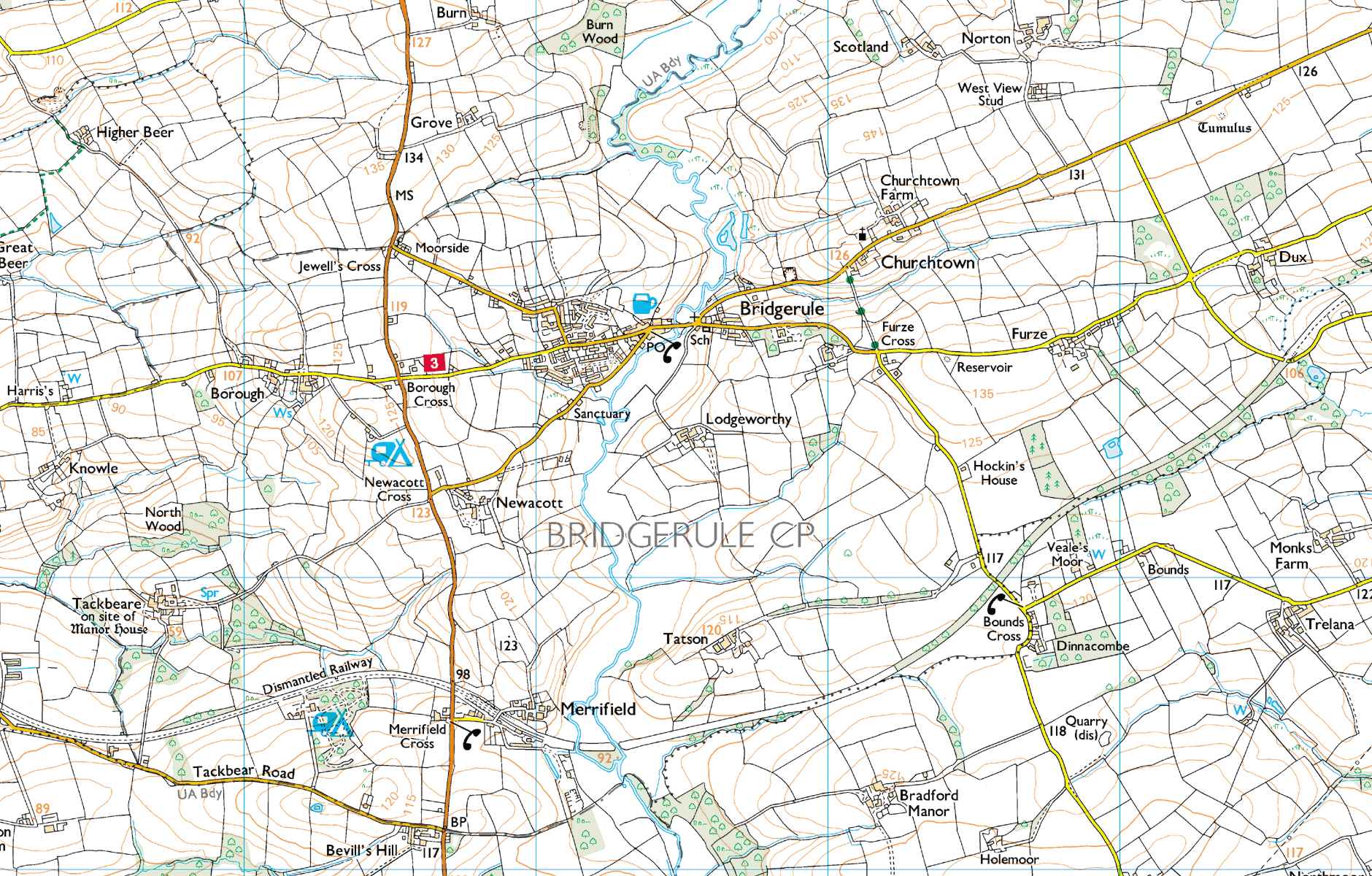
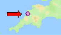
Location of Bridgerule

Bridgerule Parish lies in the County of Devon adjacent to the Cornish border near to Bude and Holsworthy


Mapping sourced from Ordnance Survey, Crown Copyright all rights reserved, licence number 10001998


Bridgerule is cut in two by the river Tamar and the western side of the parish was in Cornwall until 1844 when the county boundary was adjusted

Most of the homes in the village, the Shop, Pub and Parish Hall and a play area are to the west of the Tamar while the Parish Church, Methodist Chapel, Primary School, Bridgerule Playing Field and Football Club Pavillion are across the Tamar in the eastern area

There are also hamlets of Borough and Merrifield

A small industrial area has been established on the site of the Old Railway Station


Click here for an aerial view of Bridgerule


Please email any comments, suggestions, news, photos or announcements to info@bridgerule.co.uk

www.bridgerule.co.uk - - Page views since 1st July 2009

panorama

www.bridgerule.co.uk